Surveys with Drones
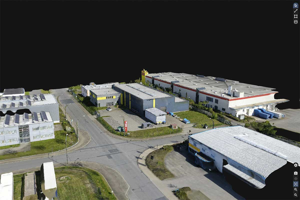
The creation of official site plans is very time-consuming and provides only a limited amount of information. This task can be better implemented with airborne photogrammetry. With the drones from German Copters, flights can be carried out at very short intervals. From the recorded aerial photographs, digital aerial photographs and surface models are generated, which can then be processed into site plans. The client receives CAD data (point cloud) and a digital orthophoto. Compared to classic surveying, the costs of drone flights are rather low. Recurring drone flights can be carried out during a construction project, for example to document the construction progress.


